

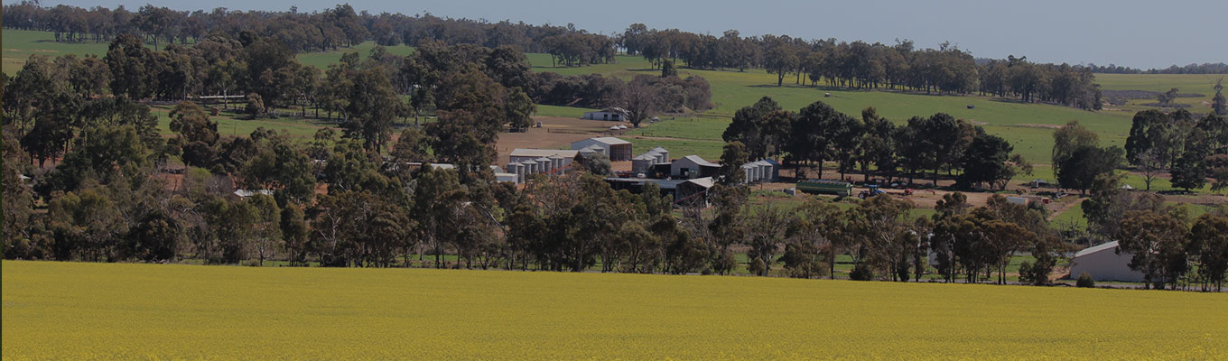
The Quindanning property is very scenic and covers relatively high rolling hills (highest point Wild Horse Hill at 405m) and valleys interspersed with large tracts of retained Jarrah bushland.
It consists mainly of fertile forest gravel soils and is classified as a high rainfall area with an average annual rainfall of 550mm. The Quindanning property is well drained with the Coolakin Creek to the west and the Marling Gully to the east, both feeding north into the Murray River system and the Peel-Harvey inlet region. To the south the Wild Horse Creek feeds ultimately into the Blackwood River and the Augusta-Margaret River region.
The western boundary adjoins the Wellington water catchment reserve and Nanga Reserve. On the eastern boundary are long held farming properties that were surveyed and first settled in the 1900s.
The Lynford Farms property is relatively free of salinity apart from a few small springs and low lying marshes. These are being contained with various measures including planted trees and perennial crops that are used for summer grazing.
The Quindanning property includes over 120 clay dams for water storage, has more than 200km of fencing and 30kms of private stock laneways. The distance from corner to corner is 20kms.
